
- This event has passed.
Opening: Shayla Blatchford: Anti-Uranium Mapping Project
Shayla Blatchford: Anti-Uranium Mapping Project
On view: August 1–August 29, 2025
Soft opening: Friday, August 1, 5:00-7:00 pm
Reception: Thursday, August 14, 5:00-8:00 pm
In Shayla Blatchford’s Anti-Uranium Mapping Project, exhibiting at Santa Fe’s new photographic exhibition space CENTER, the Diné photographer and activist sets out to document her fourteen-year journey to expose the hidden truths of extractive mining practices on the Navajo Nation. Blatchford confronts the devastating aftermath of uranium mining through photography, interviews and an online interactive mapping project.
CENTER is a non-profit arts organization that has spent the last thirty years advancing the photographic arts through education, public platforms, funding and partnerships. This is the second exhibition to be held in their new photographic exhibition and learning center in the Pacheco District of Santa Fe.
•
The Anti-Uranium Mapping Project began in 2011 when Blatchford, after a visit to her aunt’s house on the Navajo Nation, was searching for the property via Google Earth. While she did locate the home, she also found something that startled her– a thick black smear scarring the earth that quickly caught her attention. Upon deeper investigation, she realized that it was a coal mine altering the landscape just beyond the hills surrounding her family’s home.
“I realized my mission was to piece together the bigger picture and to educate others about how Indigenous and other marginalized communities are continually exploited for resources and profit,” says Blatchford.”
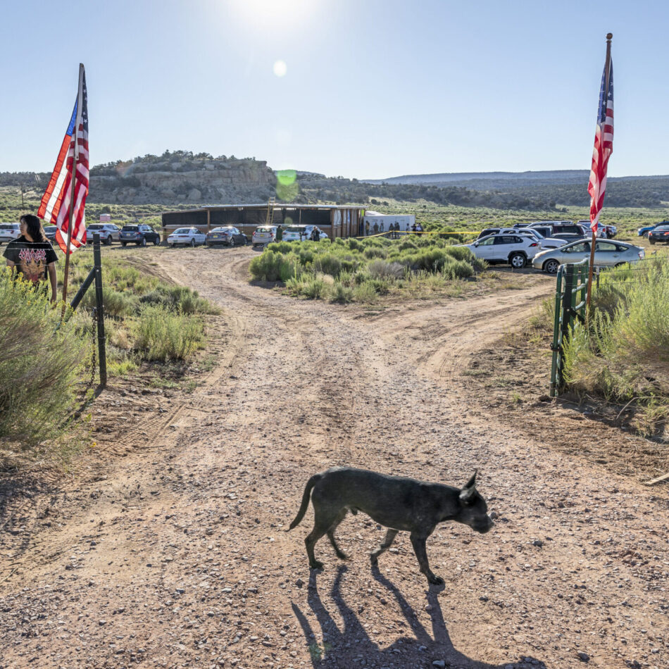
The Anti-Uranium Mapping Project’s first narrative series focuses on the largest release of radioactive waste in United States history, The Church Rock Uranium Mill Spill of 1979, revealing the long-term impacts of unchecked corporations on Indigenous communities. Located on the Navajo Nation just 20 miles northeast of Gallup, United Nuclear Corporation operated one of the largest uranium mines in the U.S. in 1968, where toxic waste was stored in unstable tailings ponds.
In July of 1979, one of the tailings dams breached, releasing 1,100 tons of radioactive waste and 94 million gallons of contaminated water into the Puerco River. The spill, more radioactive than Three Mile Island, devastated the local Navajo population, whose health continues to be impacted today. Despite selective clean-up efforts, the legacy of contamination remains.
“This exhibition on Church Rock is just a glimpse into what Indigenous communities face when mining corporations without proper regulations encroach on Native lands.” says Blatchford.
Along with Blatchford’s photographs, the exhibition will also include her “Counter Mapping” workshop. Counter Mapping operates at the intersection of arts, culture, advocacy, and media, and is designed to drive social change. Blatchford designed the Counter Mapping portion in order to empower communities to produce their own maps, challenging the narratives created by state, administrative, and corporate entities. This portion of the project will create an extensive collection of personal stories interwoven with environmental concern in order to spark dialogue, engage a broader audience, and instill a sense of shared responsibility.
“Empowering the audience with a comprehensive understanding of these issues, I hope to inspire support for Indigenous peoples,” says Blatchford. “This platform strives to provide Indigenous communities with a foundation to actively contribute to shaping the energy future and the stewardship of natural resources on Indigenous lands, all while upholding the guiding principles of tribal sovereignty.”
Footer
![]()